In gearing up for some upcoming hunts this fall I decided to check out the sheep and goat maps provided by HuntData. They provide a service where they collect data (Big Game Hunting Harvest Reports) from Colorado Parks and Wildlife and bring those points into a map of the specified area you’re hunting. They also provide maps with winter/summer/calving concentrations for both elk and deer.
Parks and Wildlife does provide much of the information included in the HuntData map for free, and as a dyed in the wool DIY guy it pained me not to go through the process of transcribing the points for myself. But there were a couple reasons I decided to look for help from the folks at HuntData:
1. Not all the points from Parks and Wildlife are defined with a single coordinate system and are mixed bag between lat./long., township/range and UTM’s.
2. I couldn’t find a listed datum for any of the systems, for instance NAD27 or WGS 84. I’m probably over thinking things as I doubt it would make any significant difference, especially for my purposes (understanding general herd locations) but it still bothers me.
Those reasons coupled with struggling through a summer in which I can’t seem to catch up, I swallowed my pride and purchased a map from Hunt Data.
The map I received was as promised, my hunt area with all the kill site information. It also includes private, Forest Service and BLM lands, all-in-all a pretty handy map. However, what really impressed me was the associated data file I was given which overlaid their map on Google Earth and is also downloadable to a iPhone, Droid or Garmin device. Overall I was very impressed and found this service a great value for my hunt.
Here’s a quick little clip I pulled together, it’s pretty shaky but you’ll get the idea.
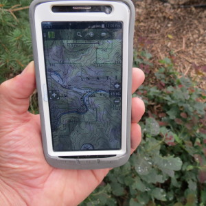
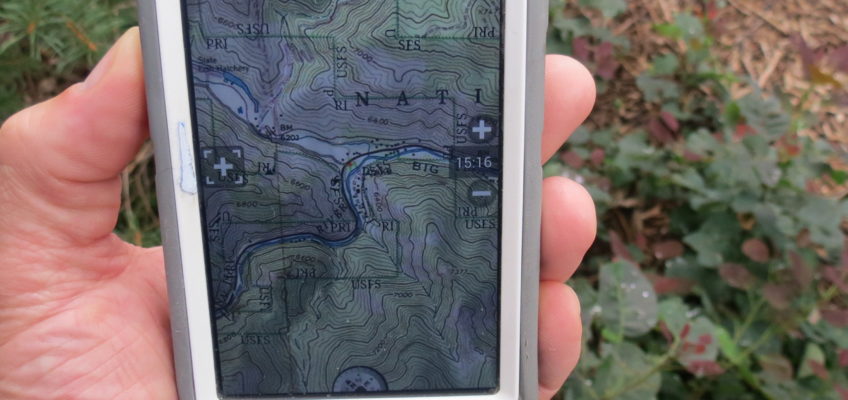
The second system I recently stumbled upon is an app for my smart phone, BackCountry Navigator Pro. This app turns my smart phone into a backcounty GPS unit. I still love my old Garmin Rhino, but one of the primary challenges for my upcoming sheep hunt is the unit is a checker board of public and private land. I was considering upgrading to the Garmin Oregon but the units are not cheap and I lose my two-way radio capabilities. I also considered adding a chip from http://www.huntinggpsmaps.com/, but for my purposes the phone app seems like a pretty good solution. It also works without a cell signal which is slick. I purchased the app and an add-on (Colorado Maps) all for about $20, not too bad!

Another great resources is the FREE maps available from USGS!


Drew
That is slick!!